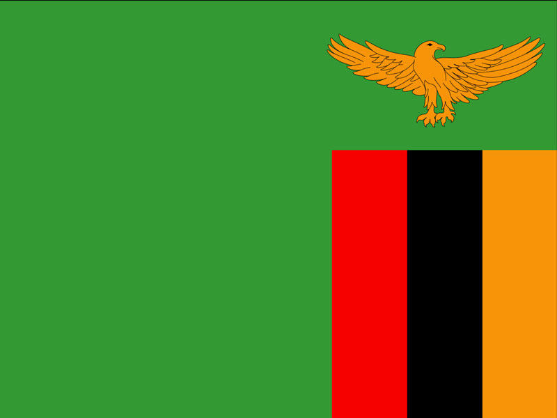
Zambia is a landlocked country in the south-central region of Africa bordered by the Democratic Republic of the Congo to the north, Tanzania to the northeast, Malawi to the east, Mozambique, Zimbabwe, Botswana and Namibia to the south, and Angola to the west. In the 1800s the British colonized Zambia as Northern Rhodesia, until October 24, 1964 when independence was gained(1) .
Zambia is divided into ten provinces, with each province being subdivided into several districts totaling 103 districts.
Though the population comprises approximately 73 ethnic groups, 90% of Zambians belong to the nine main groups: the Nyanja-Chewa, Bemba, Tonga, Tumbuka, Lunda, Luvale, Kaonde, Nkoya and Lozi.
Climate
There are 3 seasons: December-April hot and wet; May-August dry and cool; September-November hot and dry.
Population (2013)2
14,539,000
Capital
Lusaka
Language
English is the official language, however there are as many as 73 ethnic groups with the majority of the population speaking Nyanja and Bemba.
Currency
Zambian kwacha (zmk)
Economy
Zambia is the largest producer of copper on the continent of Africa.
Tourist Attraction
Zambia is home to one of the Seven Natural Wonders of the World, Victoria Falls.
Life expectancy (2013)2
Women: 60 years
Men: 57 years
Top 10 leading causes of death (2012)2
HIV
Lower respiratory infections
Malaria
Birth trauma
Stroke
Diarrhoeal diseases
Preterm birth complications
Tuberculosis
Malnutrition
Heart disease
1McIntyre, C. (2008). Zambia (4th ed.). Chalfont St. Peter: Bradt Travel Guides.
2World Health Organization and UN partners. (2015) . Zambia WHO statistical profile. Retrieved from http://www.who.int/gho/countries/zmb.pdf?ua=1

